Géocaching en Berg & Coiron
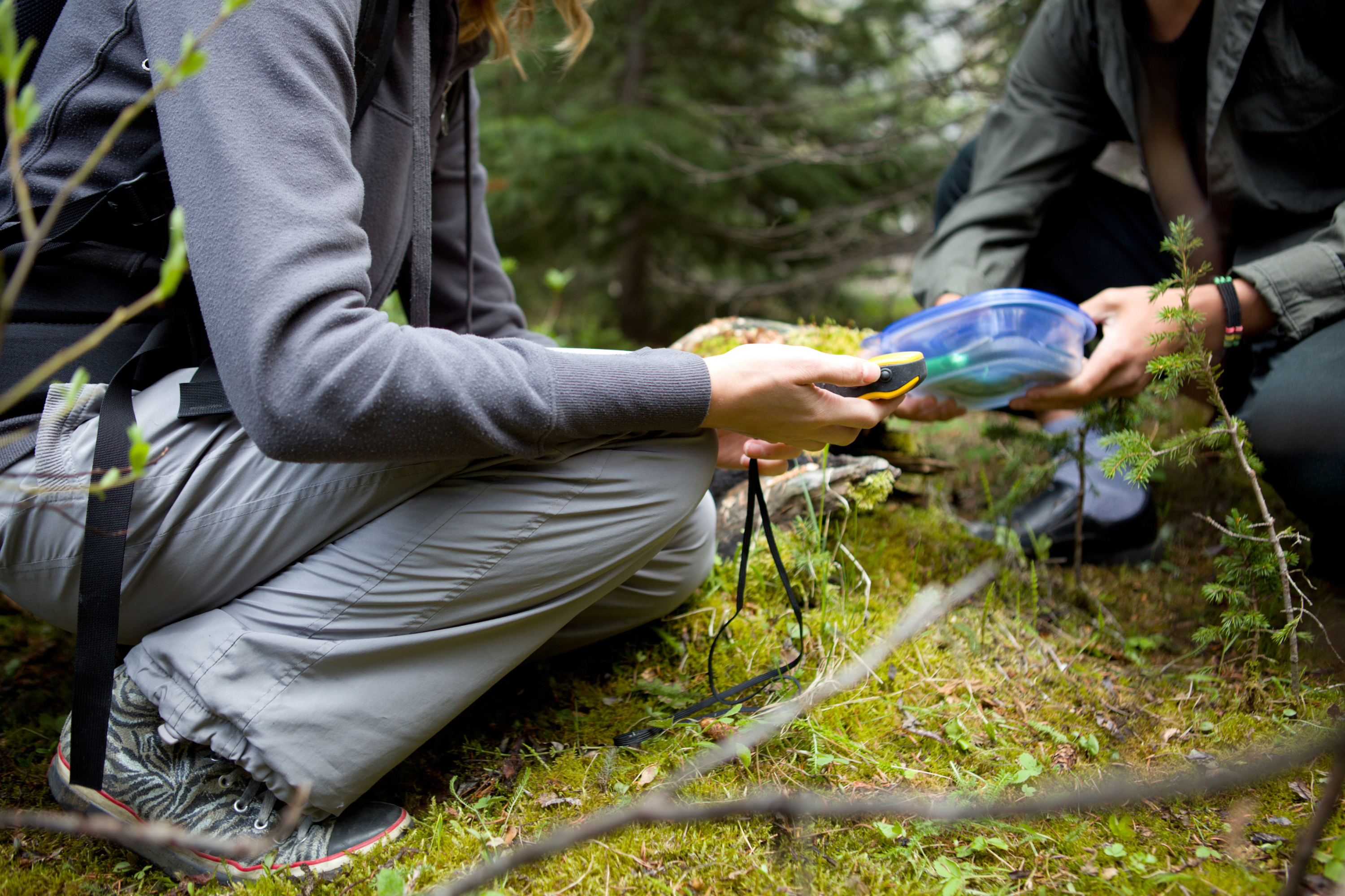
Find Geocaches with your smartphone
Walking tour n°4 included in the topo guide "Monts de Berg & Massif du Coiron". Loop of 5.8 km, medium level Lenght: 2h Route possible with a mountain bike but hard level
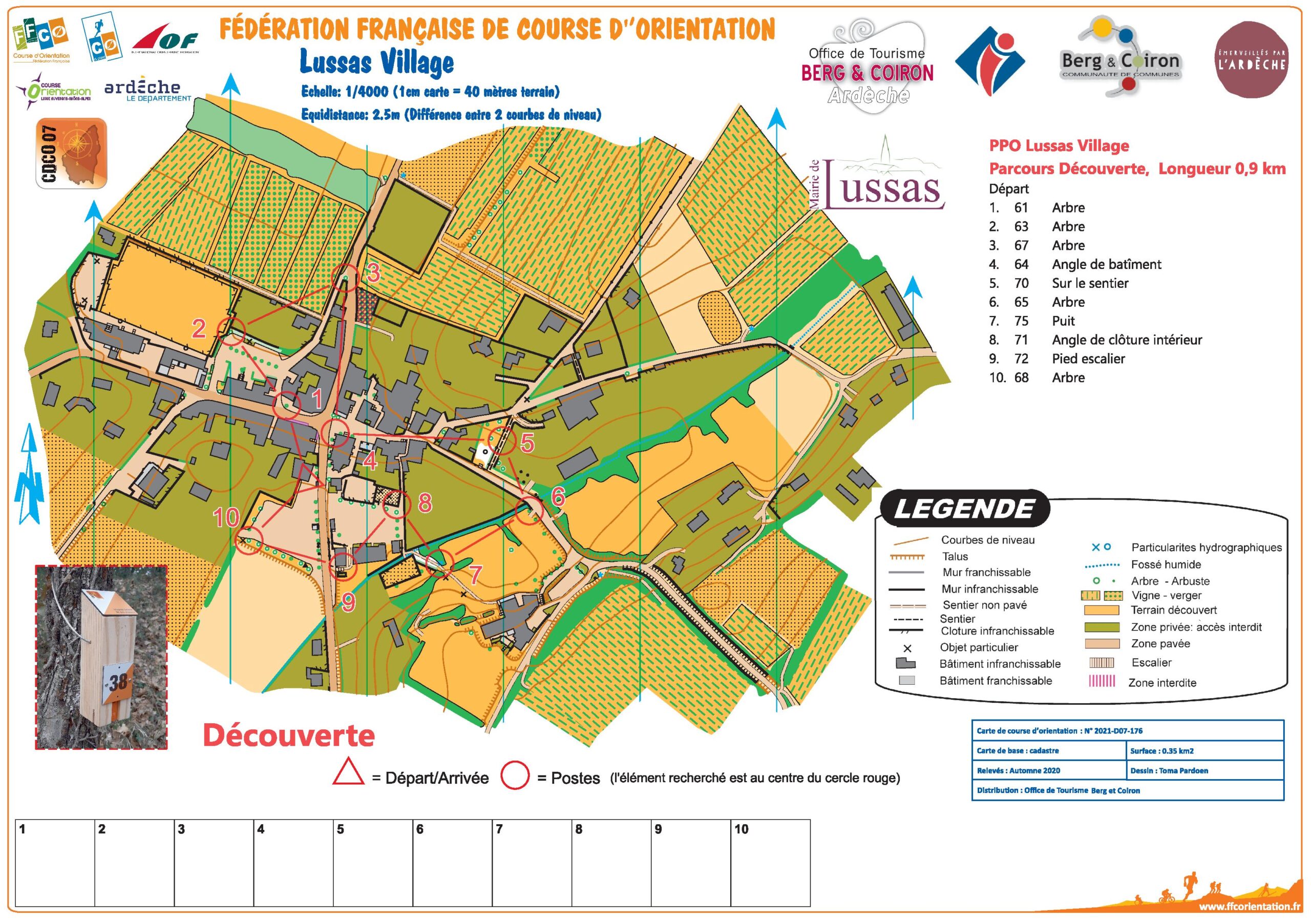
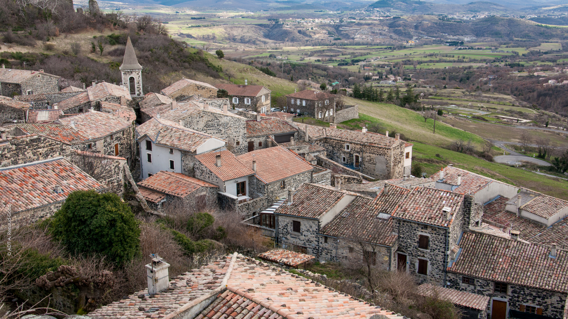
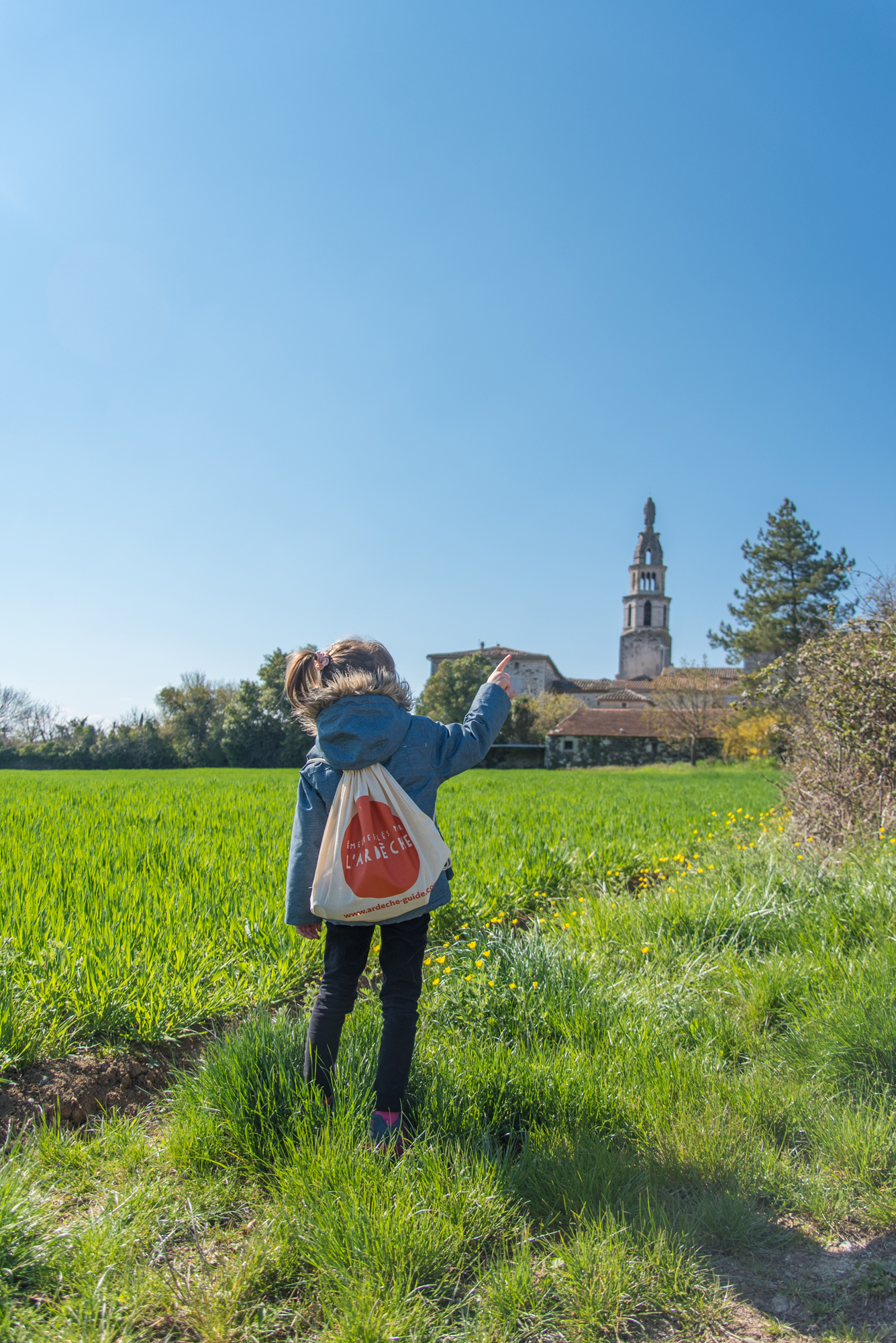
Fun walk for the whole family to discover the village and its secrets. Free download on the website of the Tourist Office "Berg et Coiron" or available at the office. N.B: Only in French, no translation available at the present time.
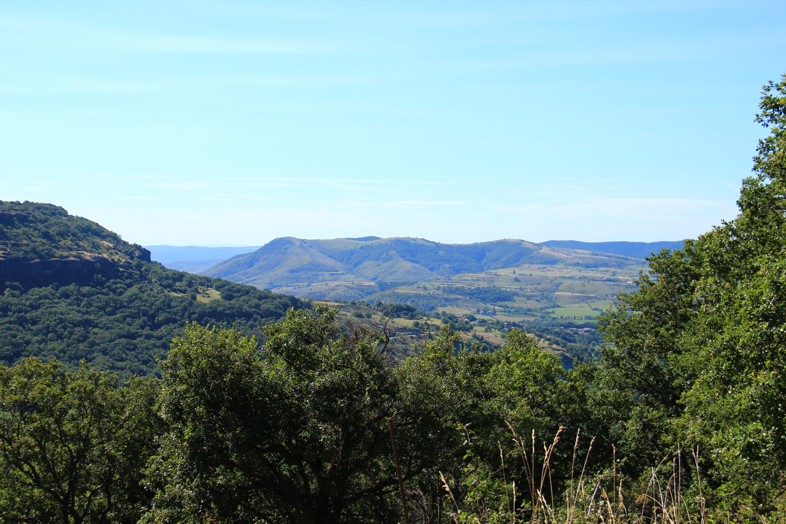
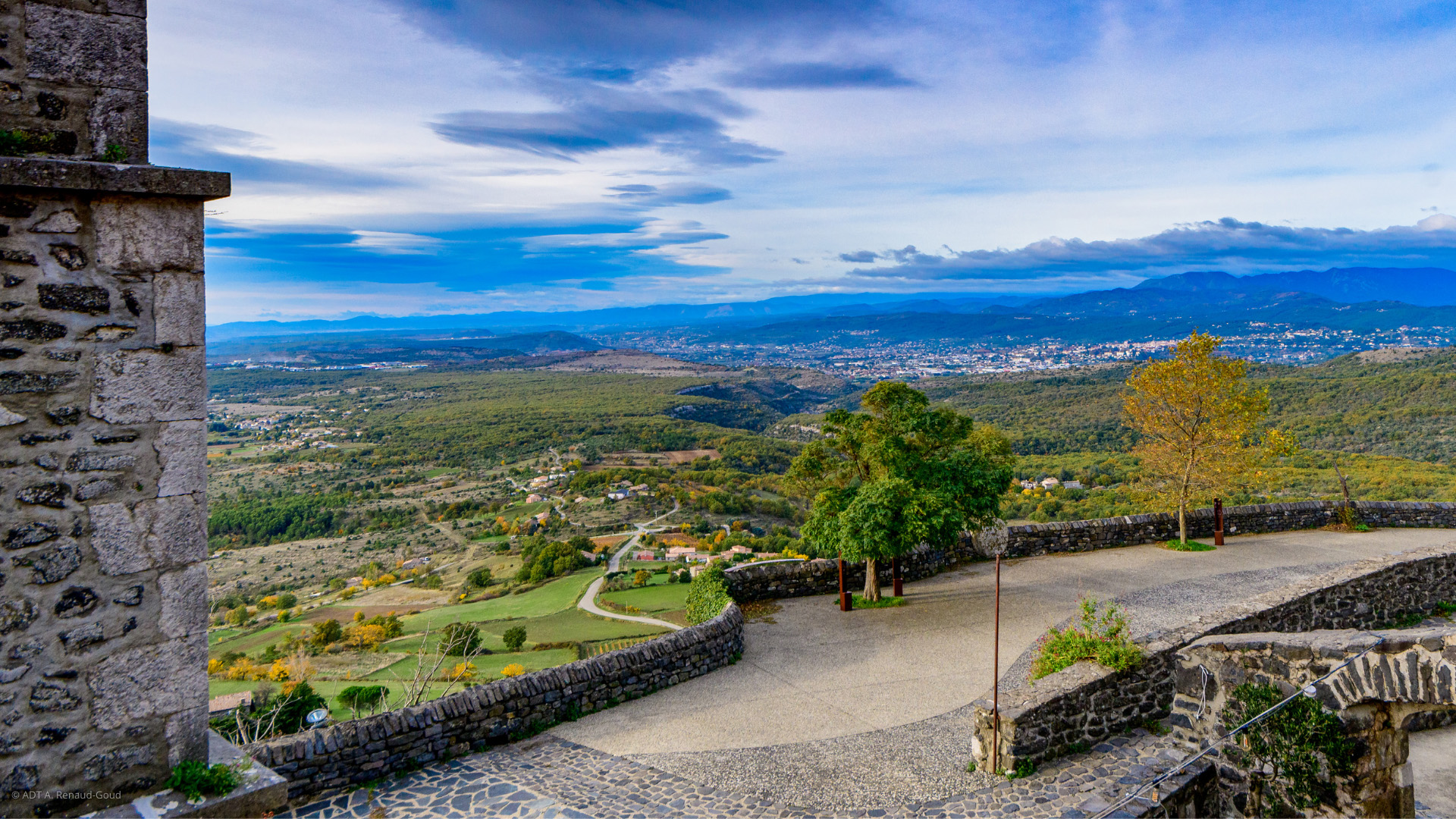
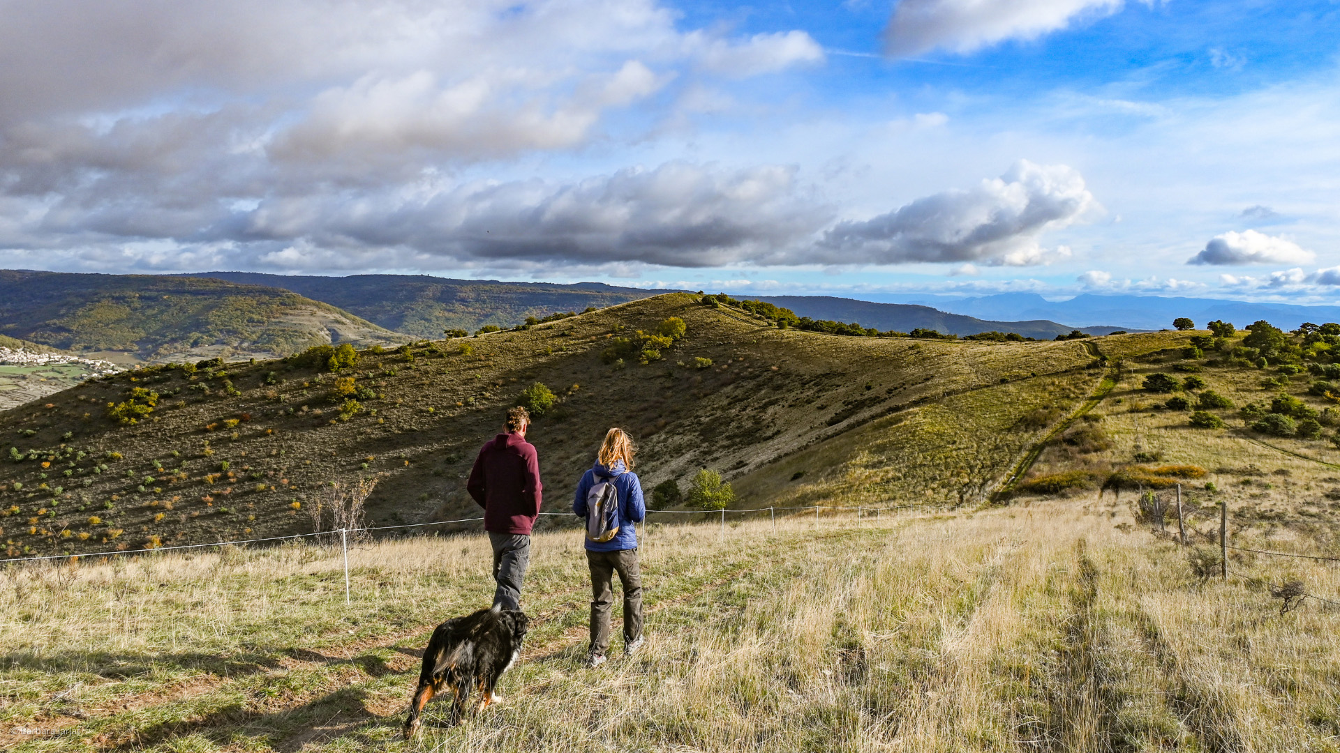
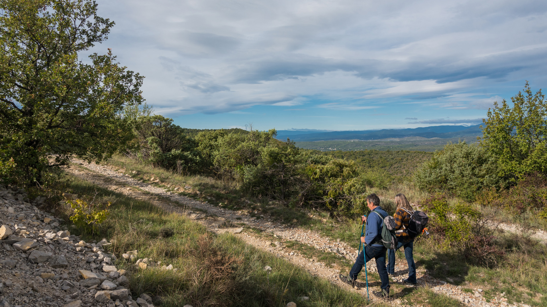
This hike takes you from the basaltic foothills to the pastures of the Coiron plateau, from the heights of this volcanic massif, specializing in breeding, discover superb panoramas!
Fun walk for the whole family to discover the village and its secrets. Free download on the website of the Tourist Office "Berg et Coiron" or available at the office. N.B: Only in French, no translation available at the present time.
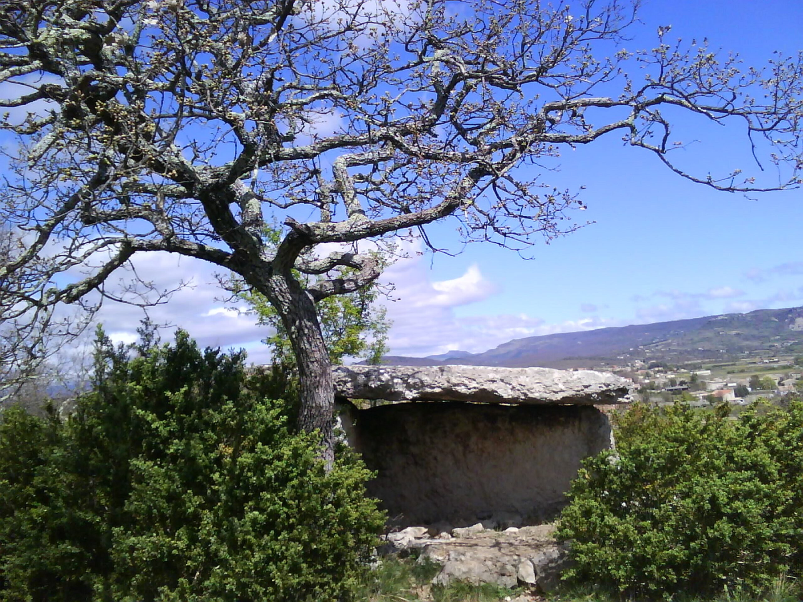
Walking tour n°11 included in the topo guide "Monts de Berg & Massif du Coiron". Walk and return of 13 km, medium level Lenght: 2h30 (+visit of the site)
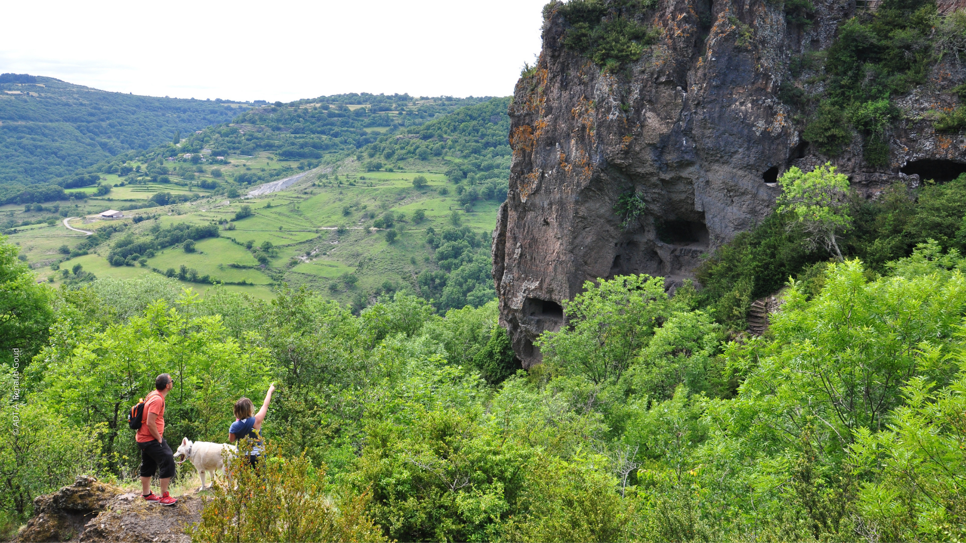
Walking tour n°12 included in the topo guide "Monts de Berg & Massif du Coiron". Walk and Return of 8 km, easy level Lenght: 2h30 (+visit of the site) Route possible with a mountain bike, Medium level
The greenway, named Via Ardèche, is a cycle path between Montfleury and St Jean le Centenier. A route completely safe, developed on the old railway line.
Walking tour n°10 included in the topo guide "Monts de Berg & Massif du Coiron". Loop of 10.5 km, medium level Lenght: 3h35 Route possible with a mountain bike
Walking tour n°7 included in the topo guide "Monts de Berg & Massif du Coiron". Loop of 13 km, medium level (variant 5.5 km) Lenght: 4h (variant 2h) Route possible with a mountain bike but hard level