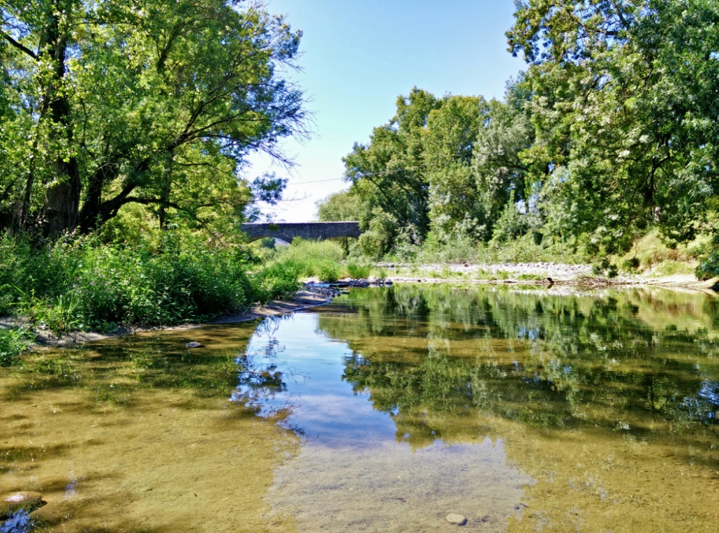
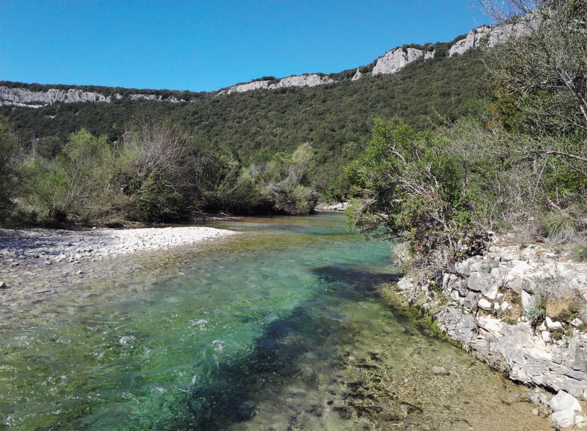
Climbing site of Chabanne
Rock climbing sit with 157 circuits from beginners to more advanced levels....
Find Geocaches with your smartphone
This "fun and connected route" makes you discover the village using your smartphone and navigating from one GPS point to another. Level: Easy. Free download on the website of the Tourist Office "Berg et Coiron" or available at the office. N.B: Only in French, no translation available at the present time.
This route, due to the diversity of the reliefs encountered, allows you to pass from the limestone plain of Alba, where a Gallo-Roman city was located, to the volcanic plateau of Coiron.
A path along the old canal leads you to the small irrigation canal bridge, an original structure that allowed the canal to span a valley and then to the banks of the Ibie River. This walk is marked with three information panels.
Walking tour n°5 included in the topo guide "Monts de Berg & Massif du Coiron". Loop of 11,1 km, esay level Lenght: 4h Route possible with a mountain bike
Walking tour n°12 included in the topo guide "Monts de Berg & Massif du Coiron". Walk and Return of 8 km, easy level Lenght: 2h30 (+visit of the site) Route possible with a mountain bike, Medium level
Fun walk for the whole family to discover the village and its secrets. Free download on the website of the Tourist Office "Berg et Coiron" or available at the office. N.B: Only in French, no translation available at the present time.
Walking tour n°7 included in the topo guide "Monts de Berg & Massif du Coiron". Loop of 13 km, medium level (variant 5.5 km) Lenght: 4h (variant 2h) Route possible with a mountain bike but hard level
You will find this rock climbing site near a village that is on the Coiron plateau which is a part of a volcanic massif, and it has an incredible view.