


Interpretation trail: Small irrigation canal of the mill of Villeneuve-de-Berg
Photos
Information
Description
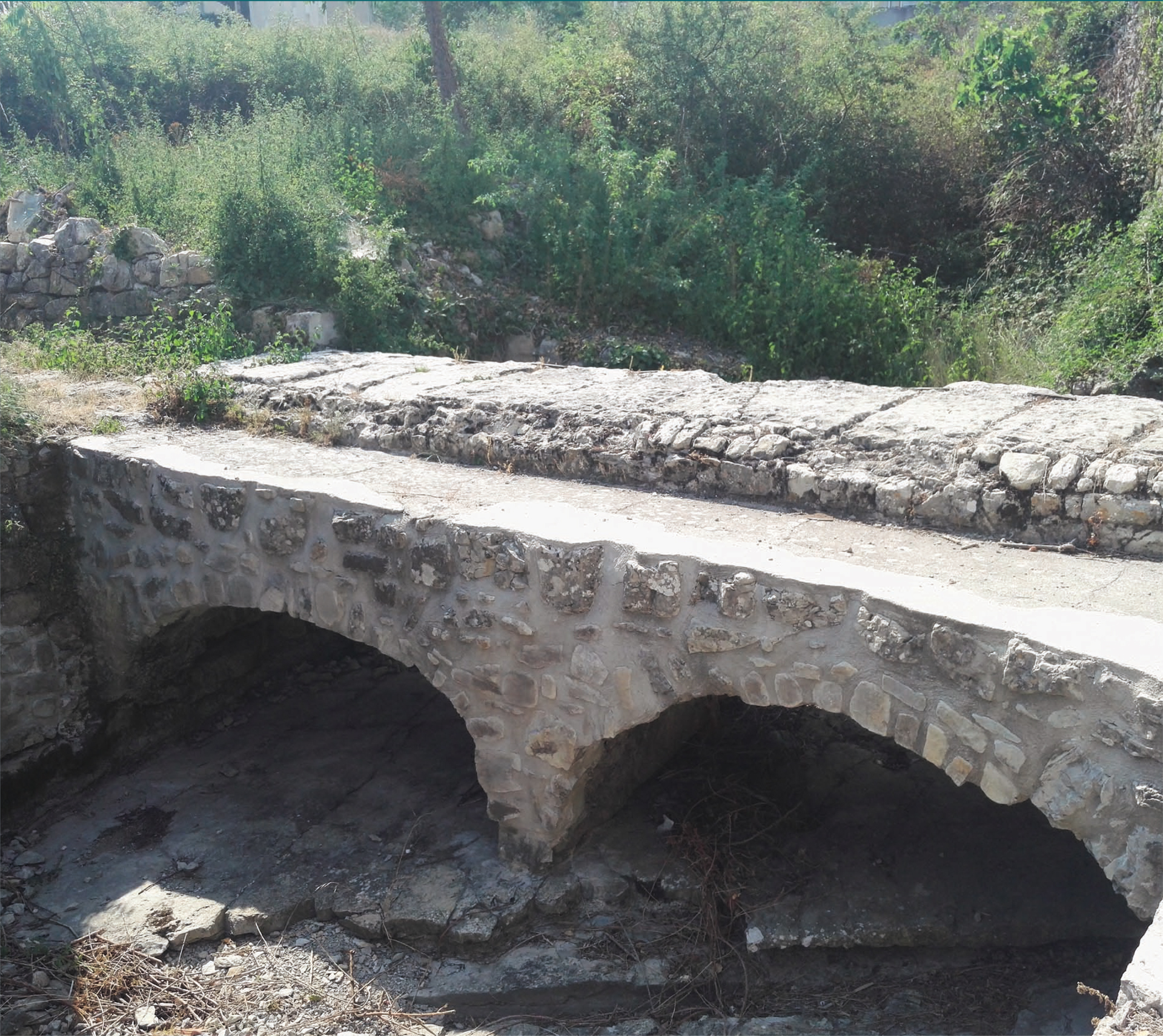
In 1284, the royal bastide of Villeneuve-de-Berg was created on the lands of the Cistercian monks of the Mazan Abbey. The town, built on a regular plan and equipped with a rampart in the 14th century, developed rapidly in the Middle Ages.
Headquarters of a bailiwick (administrative and judicial district), it welcomed a wealthy population of magistrates, royal officers and merchant bourgeois. To meet the needs of the population, a wheat mill was built shortly after the founding of the bastide. The initiative came from a notary of the town, Pierre Salivaud, who became a royal clerk in 1343, who obtained authorization to establish a reservoir on the river and to dig a canal to supply his mill.
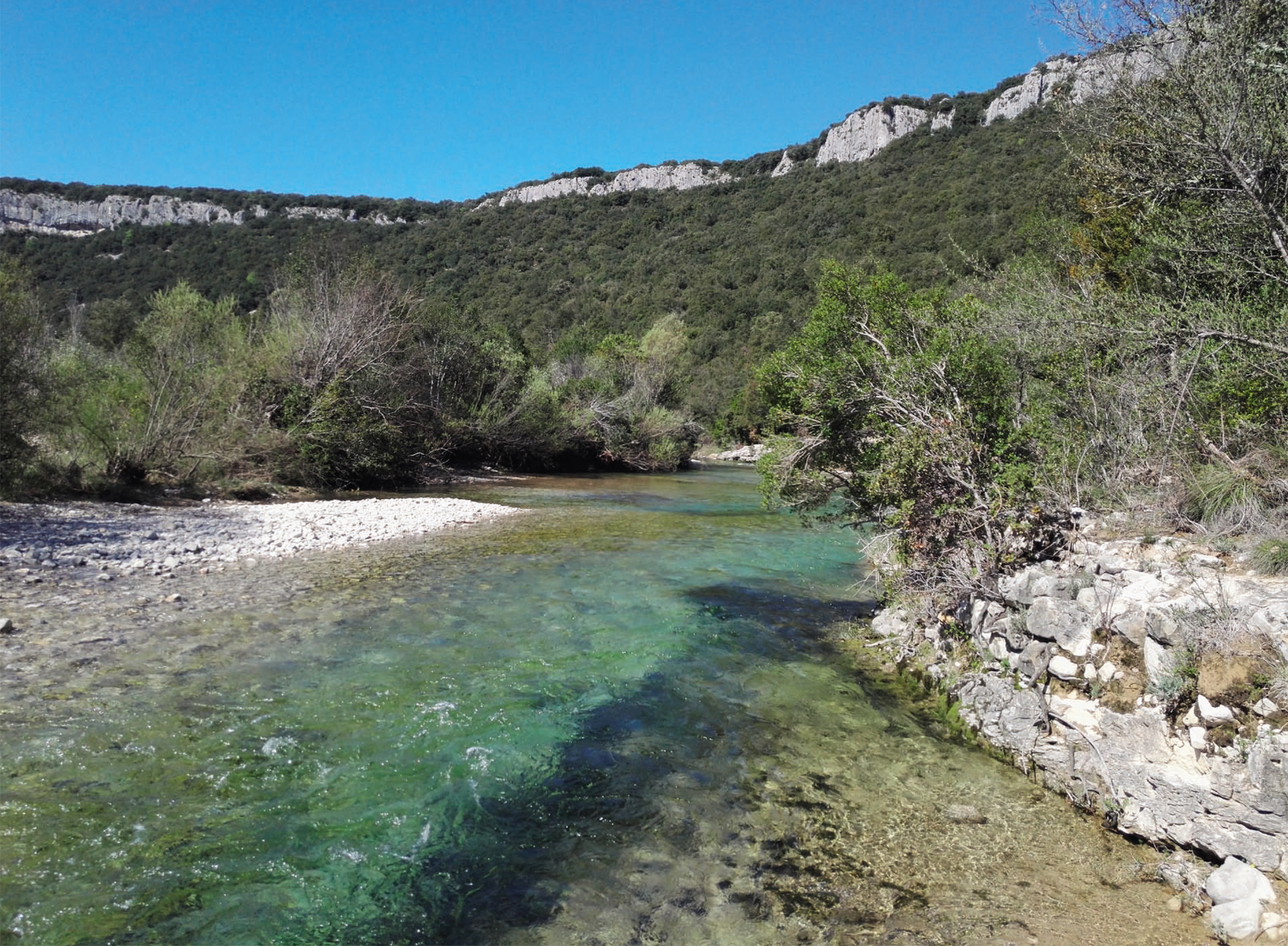
This small heritage is emblematic of the Ibie valley, where there are many reservoirs and canals intended for irrigation or the operation of mills. This nourishing river today constitutes a natural resource of great interest, but fragile, which must be protected.
Opening
All year round.
Subject to favorable weather.
We also propose:
Coordinates
- Adress140, D259
Rue Roger Vallos
07170 Villeneuve-de-Berg - Contact04 75 94 07 95
- E-mailContact us by e-mail
- Web siteAccess to the site
- GPS coordinatesLatitude : 44.557394
Longitude : 4.505913
Rates
| Free access. |