Hiking : strombolian volcanos
Information
Description
Page number 5 of the “Monts de Berg & Massif du Coiron” hiking guidebook
Free download on the website of our tourism office
Or sold in paper version with its map for 7€
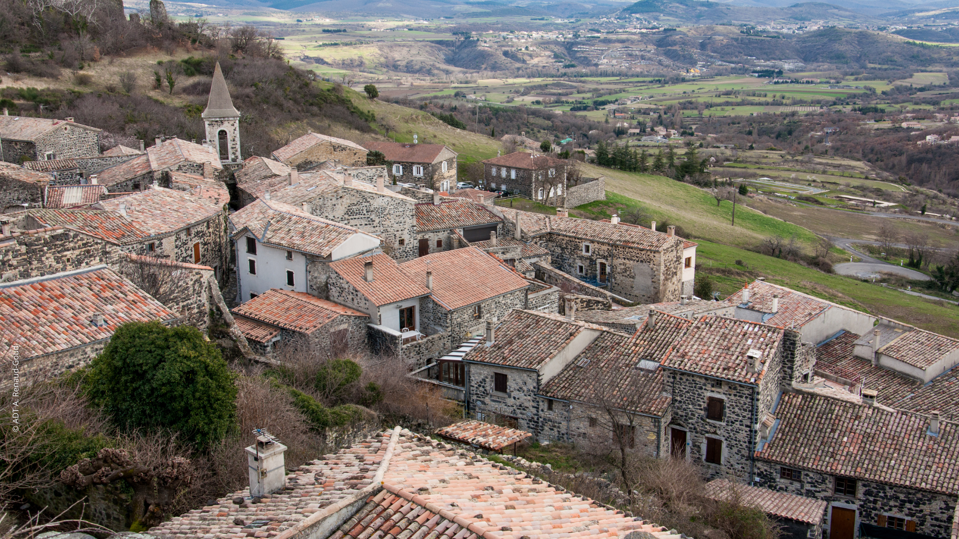
From the door of the trekking information point in St Pons, take the road that goes up to the left of the information board, then turn right and then left onto a path that goes up into chestnut trees.
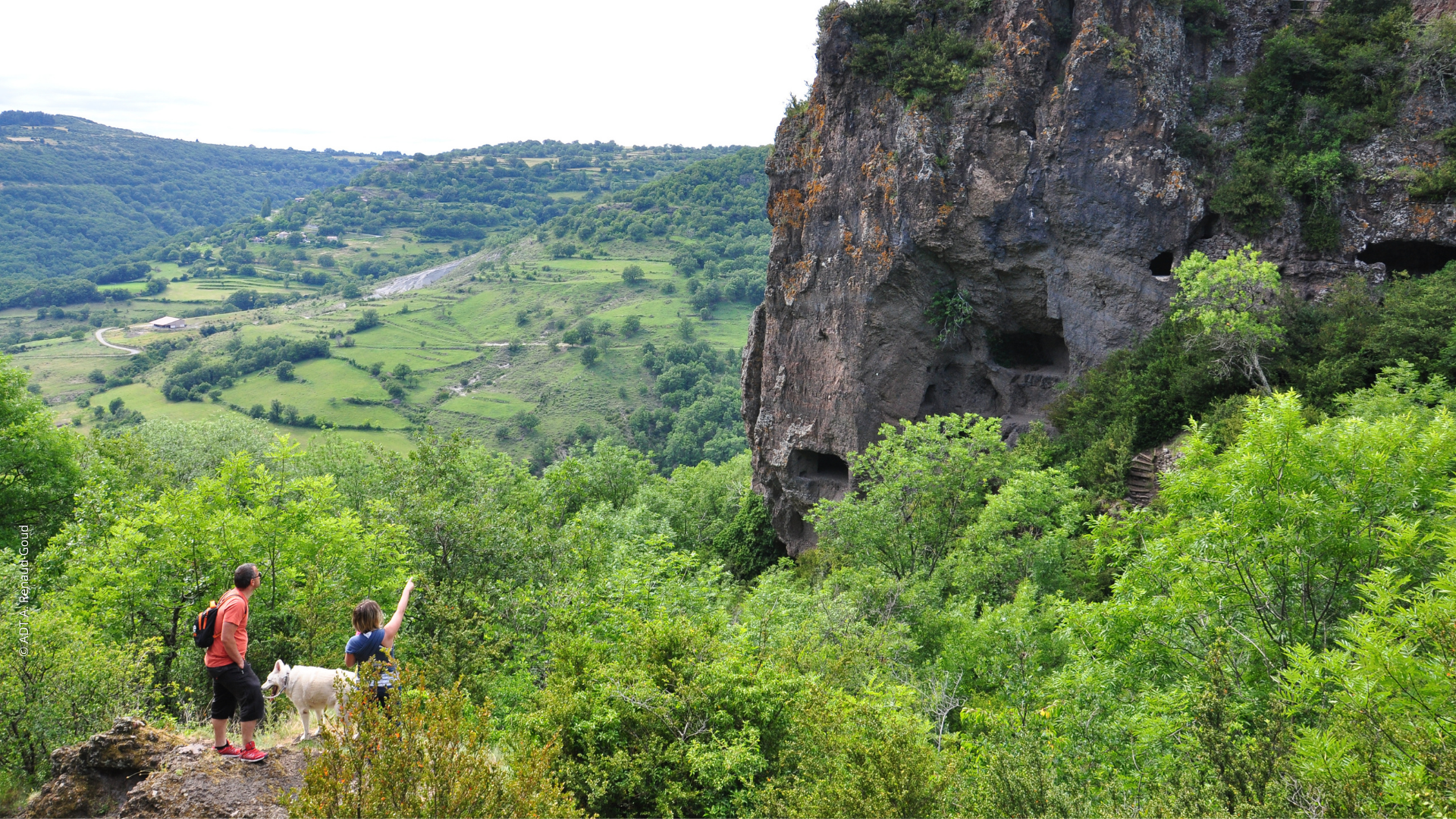
At the 1st gate continue up along the basalt cliff to the junction at
LA PLAINE DU REGARD
DIRECTION: BERZEME
Then cross the pastures towards Berzème, crossing the junction at
BRASSE NEGRE
DIRECTION: BERZEME
Follow a little road beside the fields up to the crossroads at
FAUGERES
DIRECTION: ST PONS
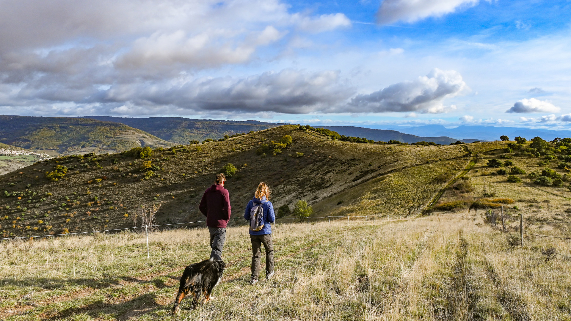
You will then enter a typical Coiron pasture in which you will stay well over to the left following the markings.
Then take a path that goes quite steeply down to La Roche Chérie. From this point, go back down the road to
LA PEYRE
DIRECTION: ST PONS
From there, climb up through the middle of a field, where you will then continue along beside the fence and then turn right onto a path that will take you back to the village.
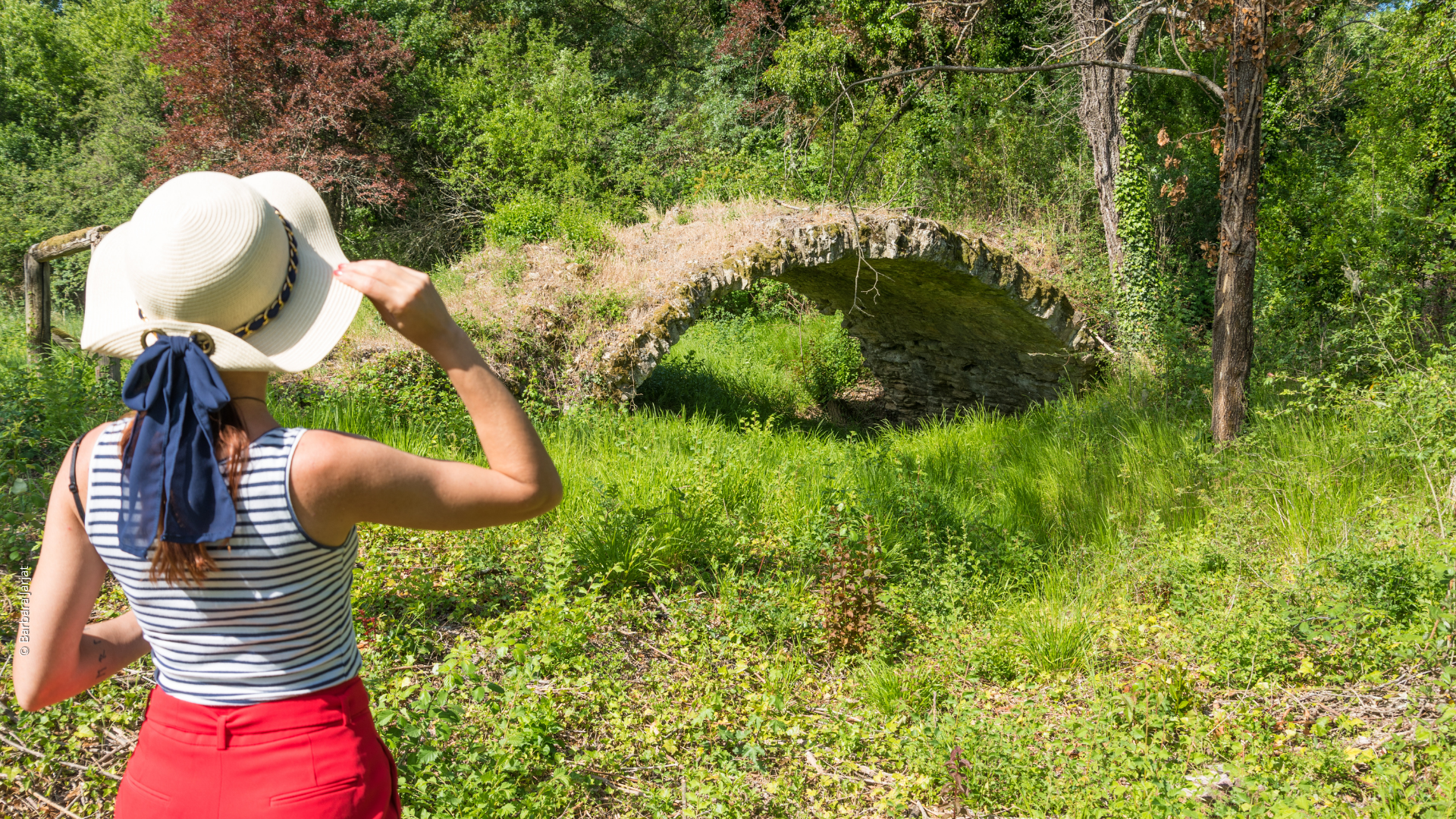
Variant: at La Peyre, climb up to the left on a path on basalt flow deposits.
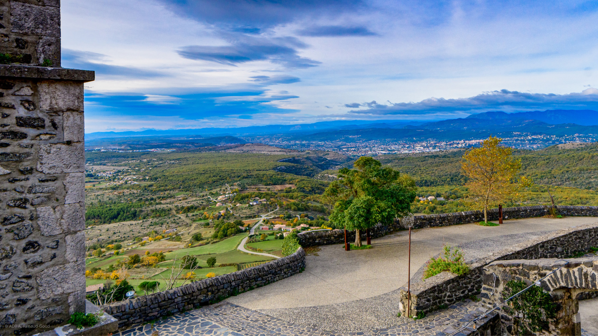
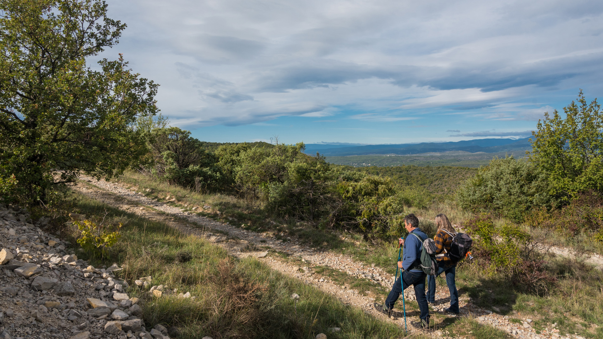
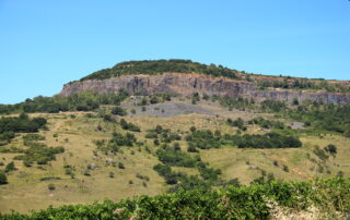
Once on the plateau, turn right along the fences to cross the Plaine du Regard, with a magnificent view point!
You will then come back to the Plaine du Regard pillar, which indicates the descent back to St Pons.
Opening
Hiking accessible all year round.
We also propose:
- Topo-guide "Monts de Berg et Massif du Coiron"
- Circuit Randoland pour les enfants à St Pons
- Village de Saint-Pons
- Neck Roche Chérie
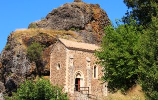
- Chapelle du hameau de La Roche Chérie
- Restaurant La Mère Biquette
- Chez Victorin
- Gîte Surviolle
- La Ferme de mon grand-père
- Maison Rocher
- Sylilanse - Gîte Chante Bise
- Sylilanse - Gîte Chante Duc
- Sylilanse - Gîte Chante Mûre
- Sylilanse - La goutte d'Ô
- La Mère Biquette
- Chapelle du hameau de La Roche Chérie
Coordinates
- AdressPanneau info rando
Entrée du village
07580 Saint-Pons - Contact04 75 94 07 95
- E-mailContact us by e-mail
- Web siteAccess to the siteAccess to the site
- GPS coordinatesLatitude : 44.59396
Longitude : 4.577436
Rates
| Free access. |

